New topo map for design of single family in-fill project

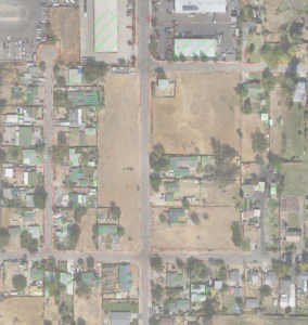
Link to the .PDF file with the following items shown;
Site covers approximately 7 acres
Topo area approximately is 19 acres
Image area approximately is 37 acres
1′ contours
All planimetrics are plotted
Spot elevations 100′ grid
Proposed 300 lot subdivision plan

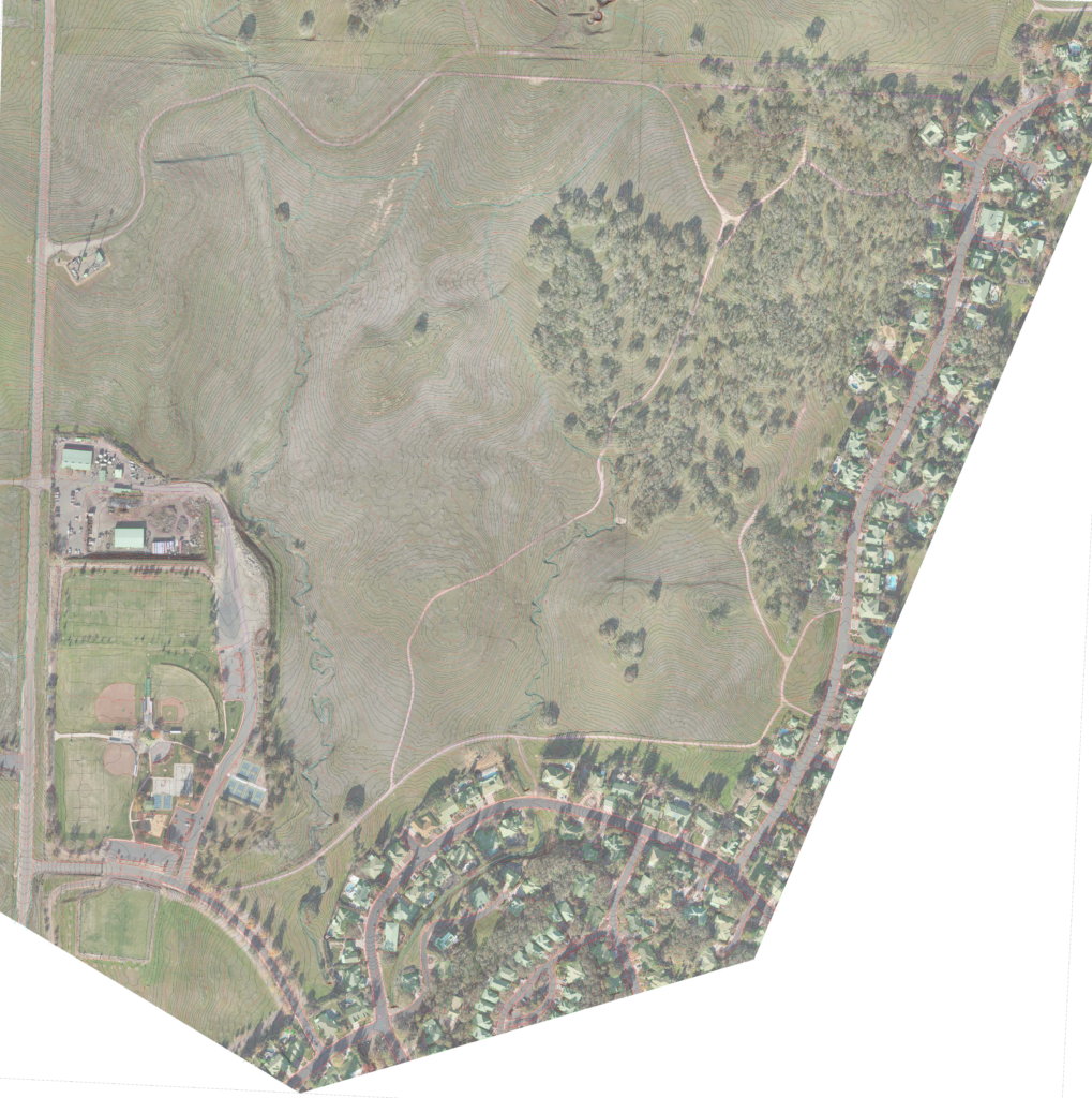
Link to the .PDF file with the following items shown;
Site covers approximately 147 acres
Topo area approximately is 274 acres
Image area approximately is 328 acres
1′ contours
All planimetrics are plotted
Spot elevations 100′ grid
Expansion of existing solar farm

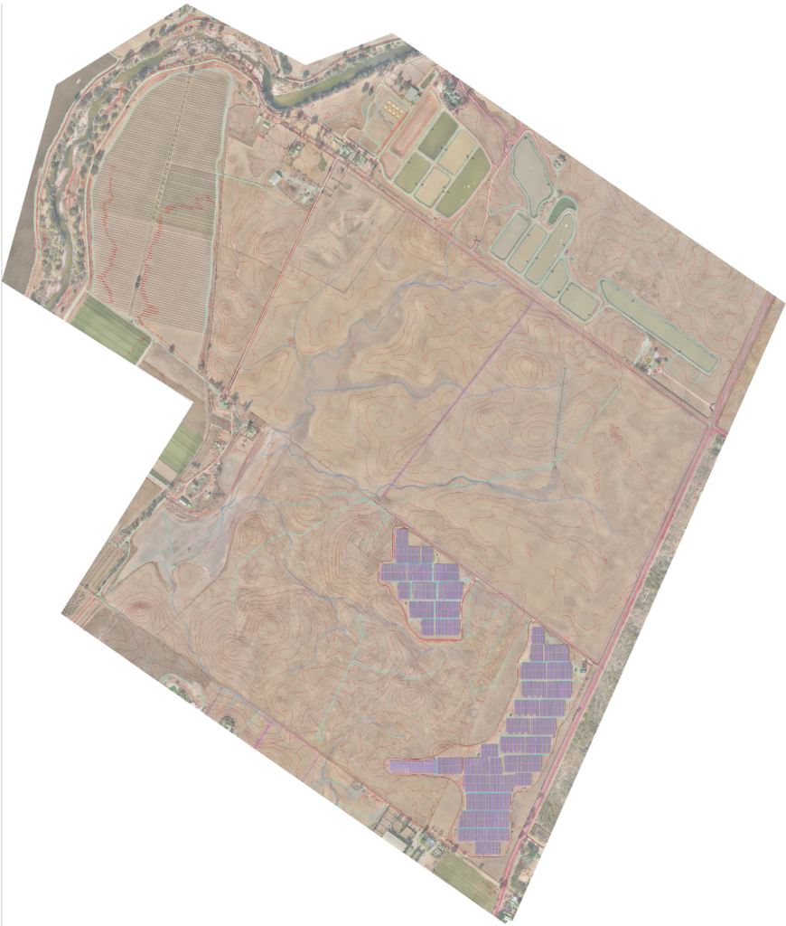
Link to the .PDF file with the following items shown;
Site expansion covers approximately 600 acres
Topo area approximately is 1,233 acres
Image area approximately is 1,387 acres
5′ contours are displayed here
1′ contours were delivered to the client
All planimetrics – objects seen from above in the image are plotted
Spot elevations 100′ grid
Here is an online source for the proposed expansion as well.
